Legendary naturalist John Muir once penned, “Trees go wandering forth in all directions with every wind, going and coming like ourselves, traveling with us around the sun two million miles a day, and through space heaven knows how fast and far!” Founder of the Sierra Club, Muir’s life was a virtual testament to how it was to be among the trees – and advocated the activity as something all people should embrace.
“Climb the mountains and get their good tidings,” Muir exhorts us. He has a kindred spirit in James Wapotich, a local writer who makes it his business – and his narrative – to wander the byways of our splendid Gold Coast hiking trails. With pen and camera and a will to lead, he blazes a trail so that the intrepid among us might follow in his – and Muir’s – example. Here, James leads us to the virtual trailhead. We leave it to our readers to pull on a pair of boots and follow, each at their own pace.
Upper North Fork Matilija Canyon

There are many great places available in Ventura County where one can take in the scenery; we have both the ocean and the mountains close by, and so it can be hard to know just where to start. If you’re into hiking and backpacking, there is a surprising number of trails to choose from. The good news is that almost all of them lead somewhere interesting.
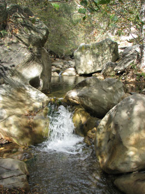
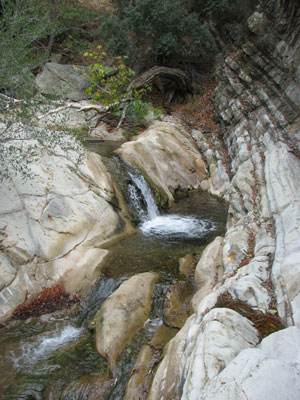
One of the more versatile trails locally is the Matilija Trail through Upper North Fork Matilija Canyon. The trail follows the creek and is about 15-20 minutes north of Ojai, has year-round water and is suitable for almost all ages. The trail is also long enough with several trail camps to make it a satisfying backpacking destination as well.
The Matilija Trail leads through the upper reaches of Matilija Creek and because of the year-round water is rich with both chaparral and riparian plants; and allows one to craft a hike of almost any length and explore our local backcountry. To hike to the campsite at Middle Matilija for example is about 8 miles roundtrip.

From the gate, follow the road as it passes through Matilija Canyon Ranch, please respect private property along this trail easement. The road then becomes unpaved, and at about the half mile mark arrives at the turnoff for Upper North Fork Matilija Canyon on your right. You’ll know if you’ve gone too far as just a short way further along the road on your left is the trailhead for Murietta Canyon. Both trails are well marked with trail signs.
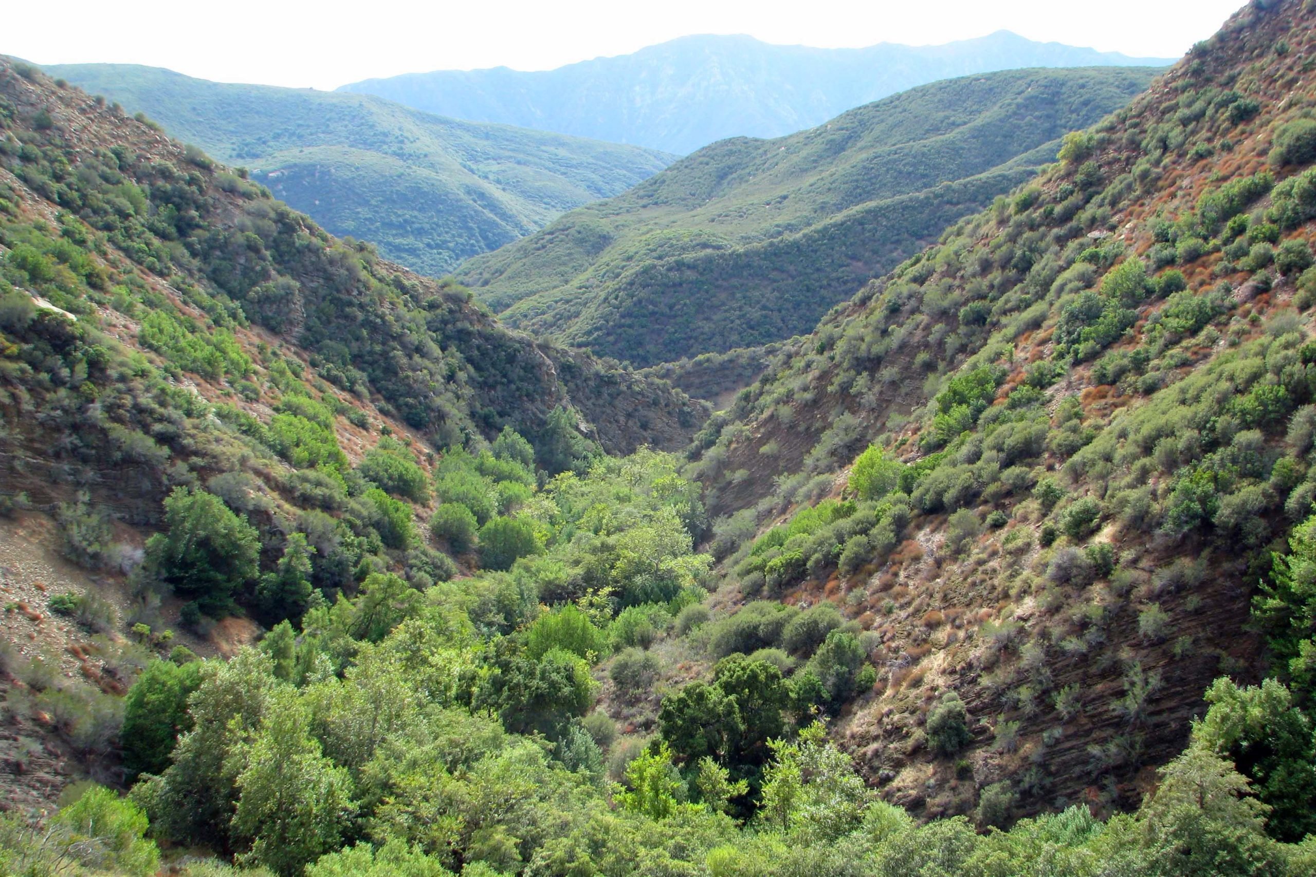
From here the Matilija Trail crosses Matilija Creek and enters Upper North Fork Matilija Canyon; it is also here that one officially enters the Matilija Wilderness. The canyon itself is striking with its defined opening and beckoning mystique. There is something powerful about a place that has year round water, such places are often favored by wildlife and were utilized by the Chumash.
According to some, Matilija takes is name from the Chumash word mat ilha, which means division and is probably a reference to the watershed that divides the Santa Ynez River drainage which flows west and the Matilija which flows more or less east before becoming the Ventura River. The Chumash village of Mat Ilha was located somewhere along Matilija Creek.

At about the 3 mile mark the trail climbs above the creek offering some great views of the canyon stretching out towards the south. It is impressive to consider how long this canyon has been here, carved out from the mountains and home to so much life and activity. In fact the further up the canyon one travels the more timeless it can seem.
At about the 4 mile mark one arrives at Middle Matilija which makes for a good return point for a day hike as well as great place to camp as part of an overnight backpack trip. Middle Matilija is situated under several large oak trees near the creek and has two campsites to choose from, each with a grated stove and fire ring.
From Middle Matilija the trail continues up the canyon still further, becoming more overgrown in places as fewer people travel it. Here too the trail climbs out of the canyon for a stretch, again offering a contrasting perspective of the canyon. And at the 5.5 mile mark the trail arrives at Upper Matilija Camp. One of the nice things about the Matilija Trail in terms of backpacking is that the number of campsites all having water makes it easy to change and select destinations during the hike. At Upper Matilija there is one campsite situated under a small grove of Bay Laurels near the creek.

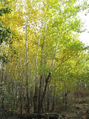
Maple Camp is about 7 miles from the trailhead and is best visited as part of a backpacking trip. The camp is aptly named as it is situated in a clearing under several large Maple trees near the creek. There is one campsite and generally water available in the creek and its remoteness can give it an almost otherworldly sense.
Regardless of how far you hike you will get to see some of our incredible backcountry.


3 comments
Nice write-up for this stretch of the Forest, James. Always a favorite destination – especially for the younger hikers!
Wandering forth in all directions. Nice article, well written with a mixture of past and present. Gives the reader the ability to plan day hike or overniter. Interesting to find maple trees at the referenced campsite. Are they native to the area or did someone plant them at a homestead? Also, it would be nice to have the locations of the photos identified.
@Jordan, the maples in our area are bigleaf maples (Acer macrophyllum); see http://en.wikipedia.org/wiki/Acer_macrophyllum. They can be seen in many corners of the southern Los Padres.